
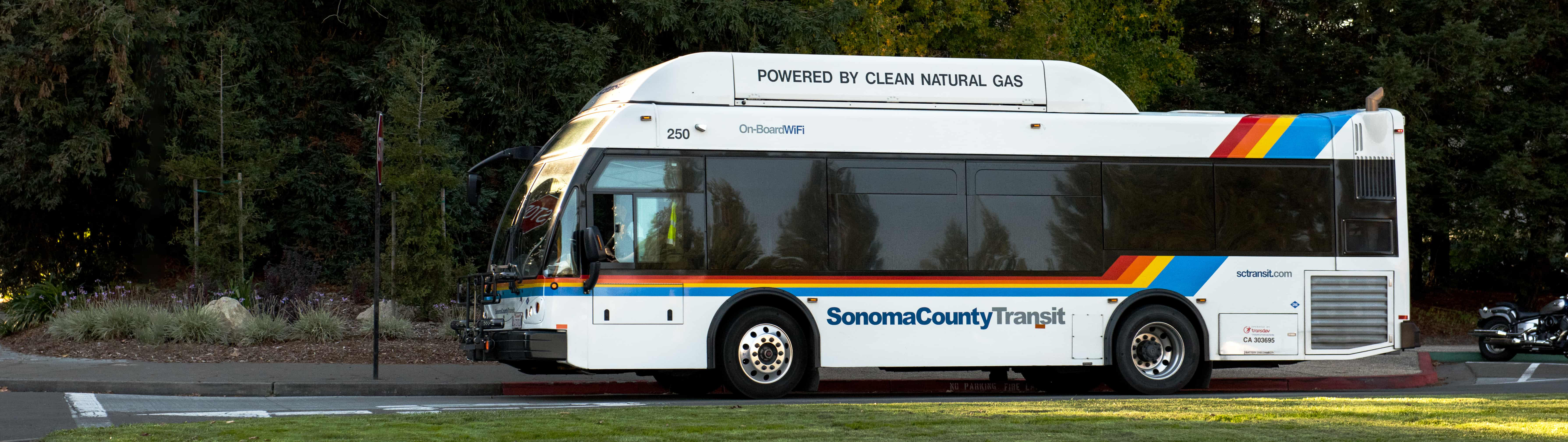


If you’re planning to board Sonoma County Transit, you can park your car or bike for free at any of these stations until they fill up. Please note that there is no overnight parking at these locations. Many of these parking lots are also served by Santa Rosa CityBus, Golden Gate Transit and/or Petaluma Transit, as marked below.
| City | Locations & Directions | Google Maps Link | Spaces Available | Public Transit Options | Shelter/Bike Rack? |
|---|---|---|---|---|---|
| Cloverdale | 501 Asti Rd, Cloverdale, CA 95425 | View Map | 90 | Amtrak | Bike Rack |
| Geyserville | Hwy. 128/Remmel Rd. One block East of Geyserville Ave. next to RR tracks. | View Map | 16 | ||
| Geyserville | Visitor’s Plaza/Park & Ride on Main Street | View Map | 45 | SCT | Shelter |
| Healdsburg | Healdsburg Train Station | View Map | 45 | SCT | |
| Windsor | Old Redwood Hwy./Starr Rd. Just Northwest of new Hwy. 101 on-ramp. Adjacent to Windsor School District’s bus yard. | View Map | 40 | SCT | |
| Windsor | Windsor Depot – Windsor Rd./Windsor River Rd. | View Map | 94 | SCT, SMART | Shelter, Bike Rack |
| Santa Rosa | Piner Rd./Industrial Way. West of Hwy. 101 on Piner Rd. Adjacent to Golden Gate Transit’s bus yard. | View Map | 90 | GGT, SRCB | Shelter, Bike Rack |
| Santa Rosa | Hwy. 12/Brookwood Ave. Just North of County Fairgrounds under bridge. Overflow parking available at Veteran’s Building. | View Map | 215 | GGT, SRCB | Shelter, Bike Rack |
| Sebastopol | Petaluma Ave./Burnett St. Just South of Hwy. 12. | View Map | 40 | SCT | Shelter, Bike Rack |
| Guerneville | Hwy. 116/Brookside Ln. Two blocks west of downtown Safeway. Across from Dawn Ranch. | View Map | 60 | SCT | Bike Rack |
| Occidental | Bohemian Hwy./Graton Rd. Two lots; one just North of Fire Department and the other just East of Community Center. | Lot 1 Lot 2 |
25 | SCT | Shelter, Bike Rack |
| Rohnert Park | Rohnert Park Expressway/Hwy. 101. Within southbound on-ramp area South of bridge. | View Map | 150 | SCT, GGT | Shelter, Bike Rack |
| Rohnert Park | Rohnert Park Expressway/Hwy. 101. Within northbound on-ramp area North of bridge. | View Map | 180 | SCT, GGT | |
| Cotati | Redwood Dr./Hwy. 116. Just South of gas station and West of Hwy. 116. | View Map | 83 | SCT | |
| Cotati | Cotati SMART Station | View Map | 100 | SMART, SCT | |
| Boyes Hot Springs | Hwy. 12/Thomson Ave. Just Northeast of signalized intersection. | View Map | 10 | SCT | |
| Schellville | Arnold Dr. (Hwy. 116)/Fremont Dr. Just Southeast of intersection. | View Map | 50 | Bike Rack | |
| Petaluma | North Petaluma Blvd./Gossage Ave. Just Northwest of Outlet Mall. Along side street directly West of N. Petaluma Blvd. | View Map | 20 | SCT, PT | Shelter, Bike Rack |
| Petaluma | Washington St./Payran St. Just North of Sonoma-Marin Fairgrounds and East of Sonoma County Regional Library. | View Map | 150 | SCT, GGT, PT | Shelter, Bike Rack |
| Petaluma | Lakeville St. (Hwy. 116)/Hwy. 101. Within southbound on-ramp north of bridge. | View Map | 145 | SCT | Shelter, Bike Rack |
| Petaluma | South Petaluma Blvd./Hwy. 101. Just East of the Northbound off-ramp area. | View Map | 40 | GGT |
Finding Your Bus Route
See all of the Sonoma County Transit Routes and plan your trip on Google Maps, 511.org, or use a mobile app.
Paying Your Fare
Fares vary based on how far you’re going. Calculate your fare, or buy a Sonoma County Transit pass online and at select locations. Sonoma County Transit also now accepts the Clipper Card.
Holiday Schedules
On national holidays, schedules are subject to change. Please check our holiday schedules before you ride!